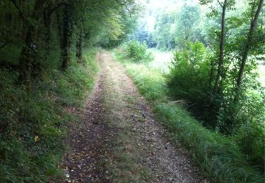
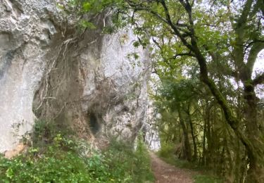
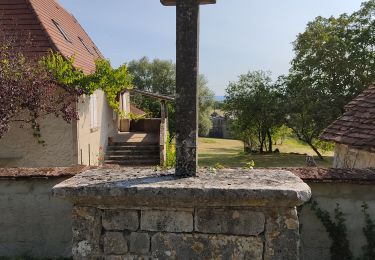
14,4 km | 19,4 km-effort
dd
MaxRey46
Utilisateur
Longueur
42 km
Altitude max
464 m
Dénivelé positif
623 m
Km-Effort
51 km
Altitude min
224 m
Dénivelé négatif
623 m
Boucle
Oui
Date de création :
2024-04-28 05:19:29.1
Dernière modification :
2024-04-28 05:19:46.242
3h04
Difficulté : Très difficile
Application GPS de randonnée GRATUITE
À propos
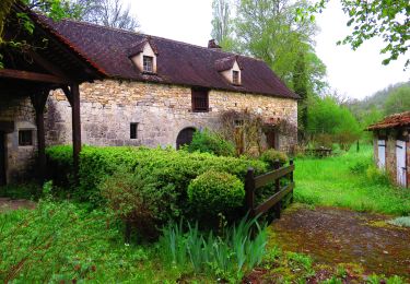
Randonnée Vélo de route de 42 km à découvrir à Occitanie, Lot, Cœur de Causse. Cette randonnée est proposée par MaxRey46.
Localisation
Pays :
France
Région :
Occitanie
Département/Province :
Lot
Commune :
Cœur de Causse
Localité :
Unknown
Départ:(Dec)
Départ:(UTM)
386316 ; 4944630 (31T) N.
Commentaires
Randonnées à proximité
Labastide Murat vers Vers
Marche
Difficile
Cœur de Causse,
Occitanie,
Lot,
France
24 km | 32 km-effort
5h 51min
Non
La Via Arverna (Labastide-Murat - Vers)
Marche
Difficile
Cœur de Causse,
Occitanie,
Lot,
France
24 km | 29 km-effort
7h 0min
Non
Sob la bastide murat vers
sport
Très facile
Cœur de Causse,
Occitanie,
Lot,
France
26 km | 33 km-effort
Inconnu
Non
soulomes les croix
Marche
Facile
Soulomès,
Occitanie,
Lot,
France
4,7 km | 5,9 km-effort
1h 11min
Oui
Labastide-Murat - Vers
Marche
Moyen
Cœur de Causse,
Occitanie,
Lot,
France
24 km | 30 km-effort
4h 47min
Non
circuit des trois églises
Marche
Moyen
Lamothe-Cassel,
Occitanie,
Lot,
France
9,2 km | 12,4 km-effort
2h 15min
Oui
vaillac
Marche
Très difficile
Cœur de Causse,
Occitanie,
Lot,
France
22 km | 30 km-effort
5h 40min
Oui
LABASTIDE-MURAT
V.T.T.
Difficile
Cœur de Causse,
Occitanie,
Lot,
France
30 km | 37 km-effort
2h 35min
Oui